Menu:
Tasmania (Overland track and South coast track, 25/12/2011 - 05/01/2012)
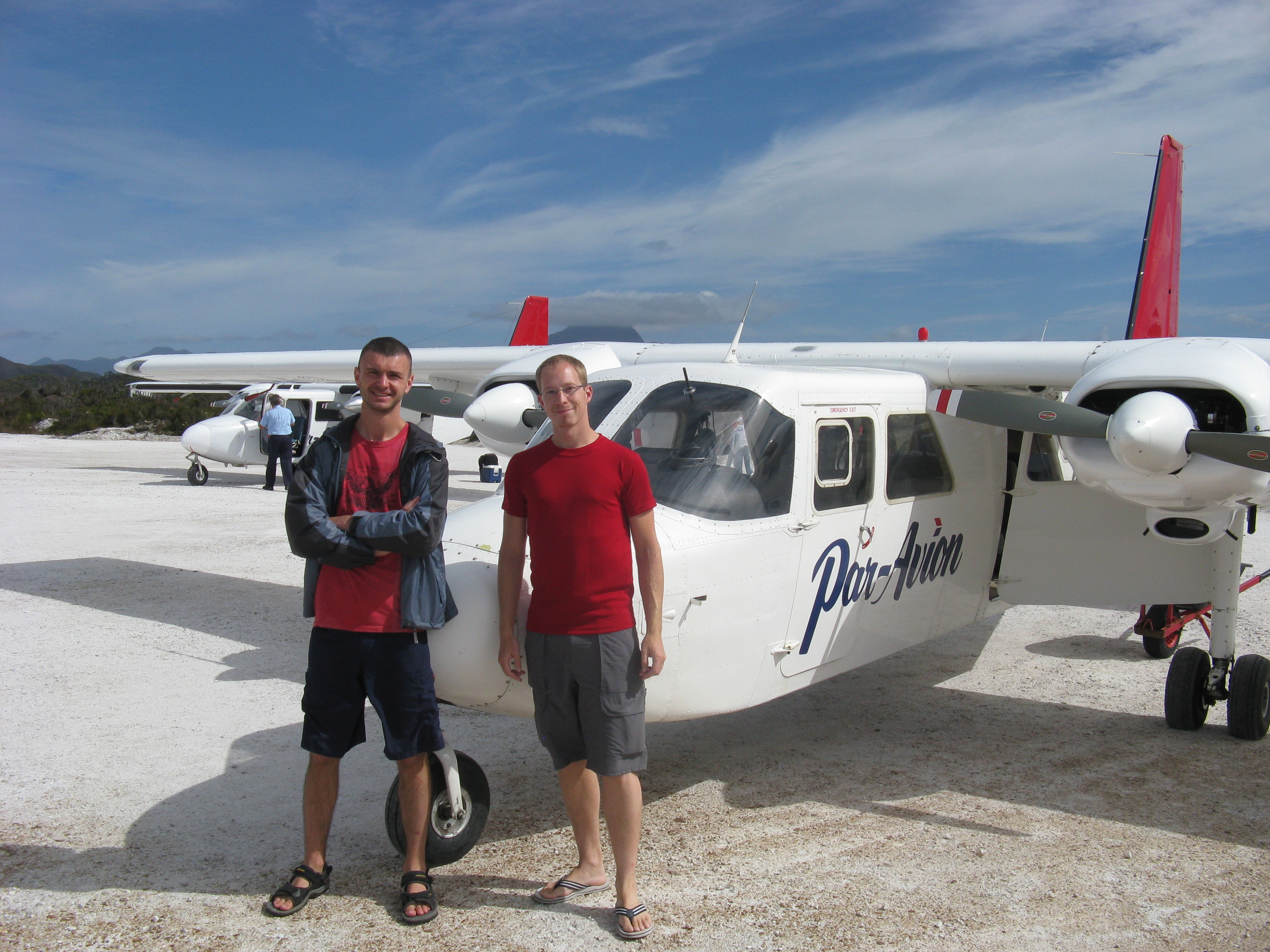
The adventure began on Christmas eve. Igor (another PhD student, from the Ukraine) and I went to the airport, both with a full backpack of about 70 liters (which came down to about 17 kg without carrying water).
The flight to Tasmania actually left at 7 AM the next morning, so we had to wait for a bit. This, inevitably, resulted in digging into the food supplies even before we left Melbourne.
After a bit of waiting, eating and fighting the sleep, we arrived in Launceston, Tasmania. While I'm sure that this is a lovely city 364 days per year, on Christmas it is not! The fact that Launceston looks like it has its glory days many decades ago is fine, but it seemed like the people just packed up and left the city then. Not even the McDonalds is open on Christmas, let alone the supermarket or any type of restaurant.
By lack of alternatives we did a bit of hiking in the Launceston area, which was actually quite pretty. After the short hike we checked in to a hostel and spent the rest of the day in a state between sleeping and being awake.
While I've typed a fair bit already, the story actually still has to start. The plan was as follows: first we walk the Overland track (depending on some factors approximately 75 km, mostly mountains and forest) and then the South coast track (80 km, mountains, beaches, forest, mud, etc.). However, both tracks start and end far from the civilized world, thus some planning and booking of transportation was required. We had more or less agreed that we would try to walk the Overland track in 3 days, and we had booked transportation accordingly. This doesn't leave a lot of room for unexpected delays. To make it a bit more challenging, I did not have too much preparation, also no hiking experience, but I do have a nasty knee injury.
The first day went over Cradle mountain (1545 m). Due to rain and fog, we skipped the side-trail to the summit, but we went up until about 1400+ meters and down on the other side of the mountain. These altitudes are a bit deceiving since we started already at an altitude of 700 meters. Given the rain and the cold temperature, I didn't really expect snakes there. So I was quite surprised when a tiger snake suddenly slid right in front of my foot. This is known to be the most aggressive of the three (all poisonous) types of snakes in Tasmania. However, if they doesn't have a reason to attack, they generally don't. This fellow was gone before I even could reach for my camera (luckily we saw another one later on). We walked for a couple of hours, but this was only a short day, as we started walking around 1 PM and stopped early evening. It turned out that the weight of the backpack and the lack of a flat surface slows you down quite a bit, depending on the surface and the weather, an average of 3 - 3.5 km/h seemed to be realistic (which includes many short breaks though).
The next day was a serious test of our capabilities. In the morning we walked 17 km. Since my knee really started hurting the previous day already, these 17 km on a surface rocks and roots were hell. My screaming and cursing might very well be the reason that we didn't see too many animals that morning. To my surprise, the rest of my body was completely fine with carrying the weight and walking the distance. Igor and I agreed to split up for the afternoon and meet each other at a certain point 19 km further down the track. This brought the daily total for me to 36 km and for Igor even more since he included a side trail to a mountain summit. In the late afternoon I finally decided to take some anti-inflammatory medication and I literally ran most of the last 10 km through the mountains and forest (not in the least because the sun was setting and I wasn't sure how much further I had to go).
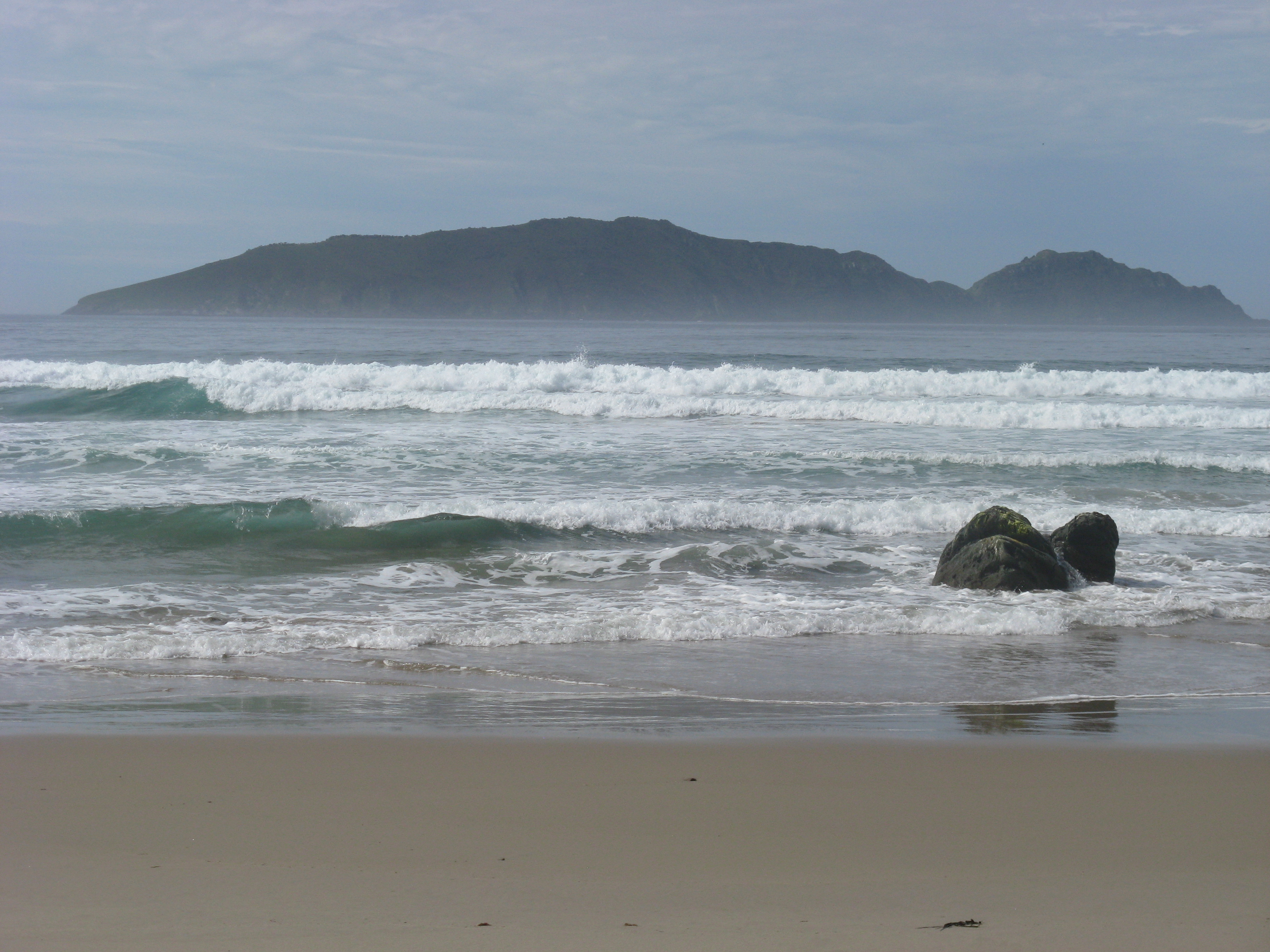
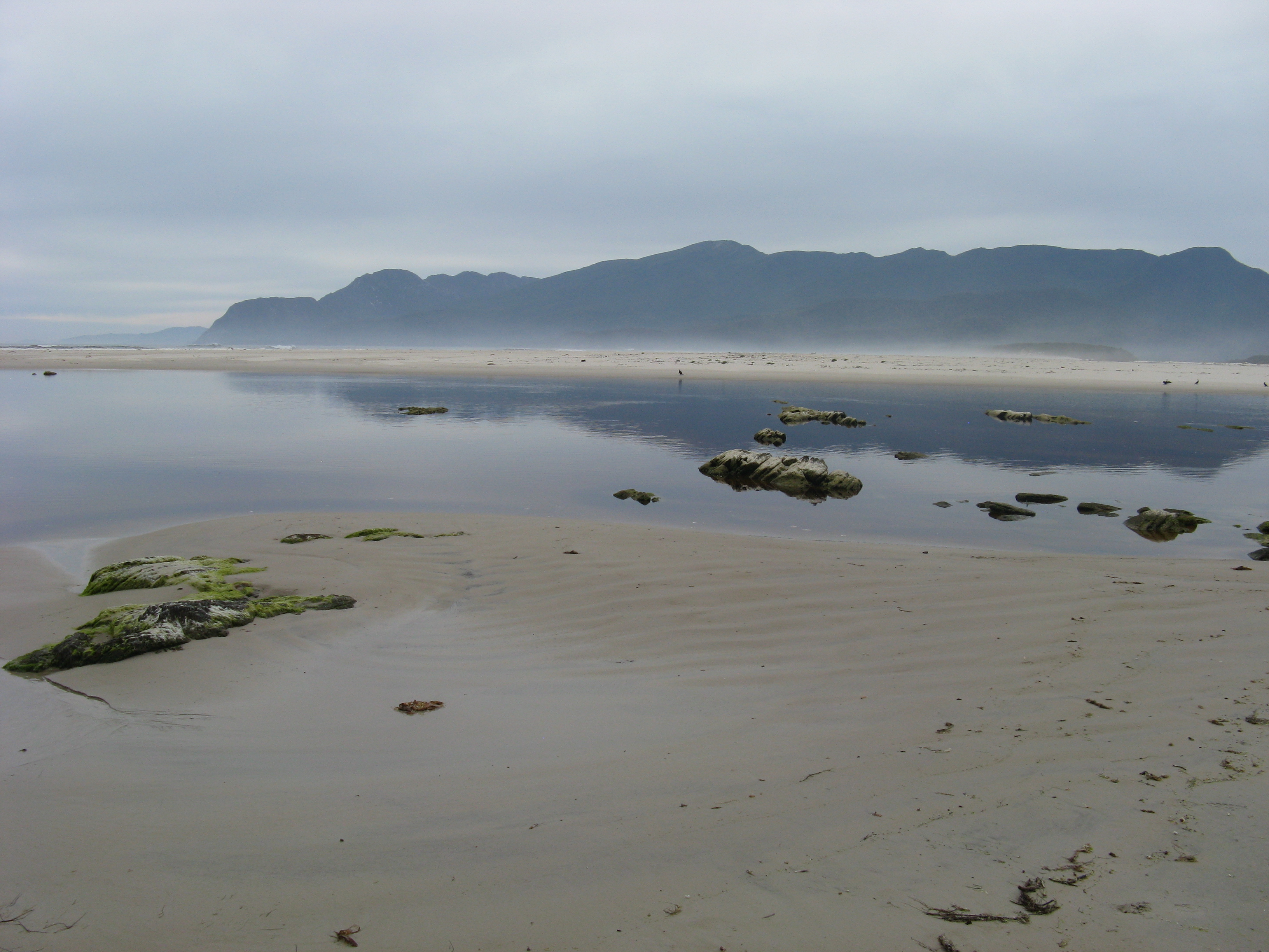
With one and a half day of serious walking behind us, we were actually ahead of our schedule. So in the next afternoon we stopped at Lake St. Clair for a few hours and did a bit of swimming and enjoying the sun. With a depth of 200 meters, it is the deepest lake of Australia. After our break we finished the track (which finished at the end of that same lake) and set up camp next to the lake.
The next day we had many hours to kill before our bus arrived. Once it arrived, it took a few more hours to reach Hobart, the capital of Tasmania. The contrast between Launceston and Hobart couldn't be bigger. Hobart is a lively city where heaps of festivals and races were going on. Despite all the activities, we were lucky enough to check into a hostel for two nights (this was really lucky it turned out). We had one day in Hobart to recover, look around for a bit and buy supplies for the next track. Until this point, I actually had my doubts about walking the South coast track. My knees (both of them now) were hurting a lot and the south coast track is known to be harder than the Overland track. Furthermore, since the track would take us longer, we would need more food, which means more weight on my knees. Of course, we were also already a bit tired, physically and mentally.
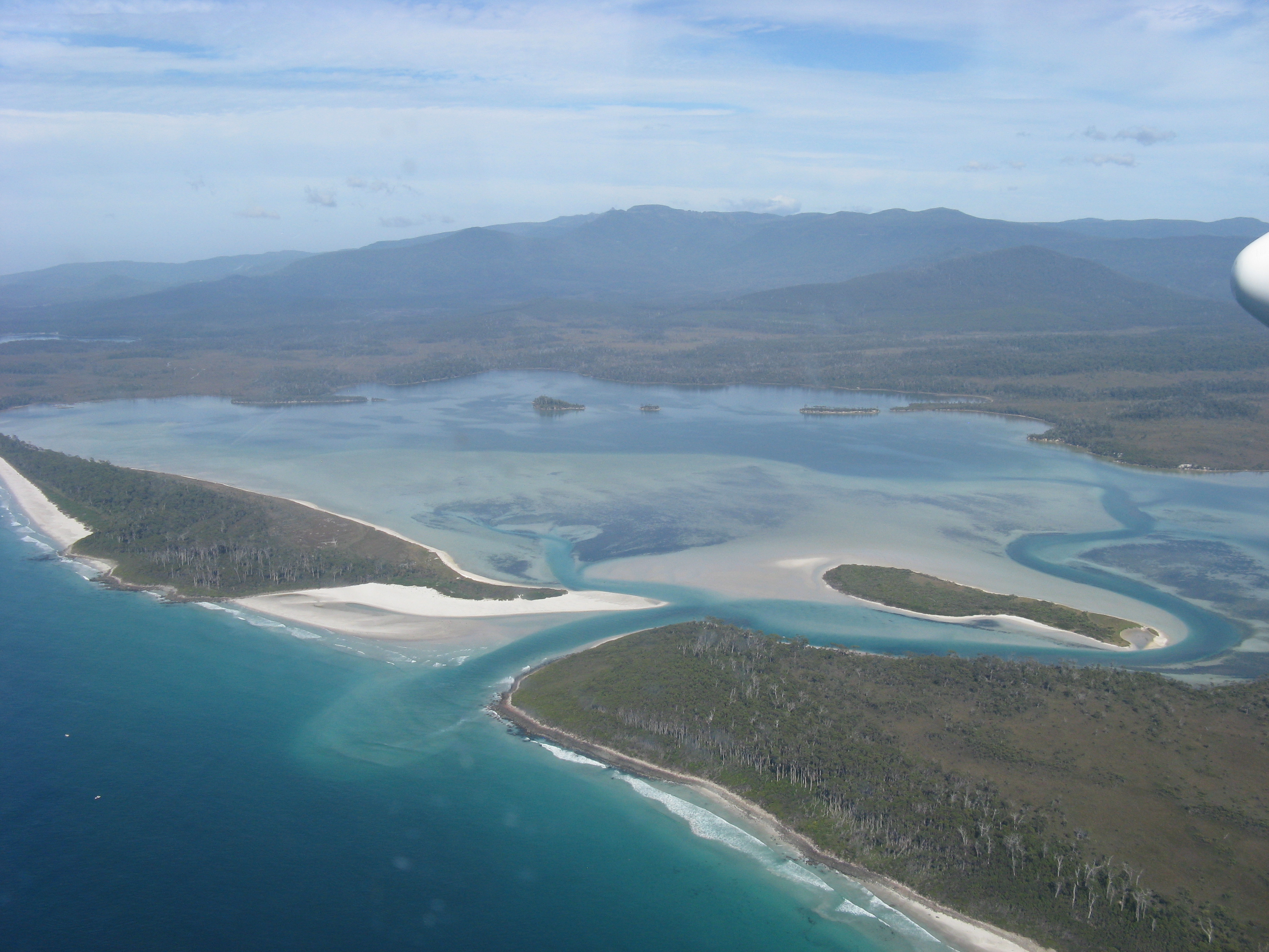
Despite my doubts the next morning, at 9 AM, we flew to Melaleuca in very small airplane. While Melaleuca has been given a name, there is actually nothing there except for a landing strip and a former tin mine. This location is the beginning of the South coast track, which ends in Cockle creek. That flight on itself was a beautiful experience, going over Hobart and along our track.
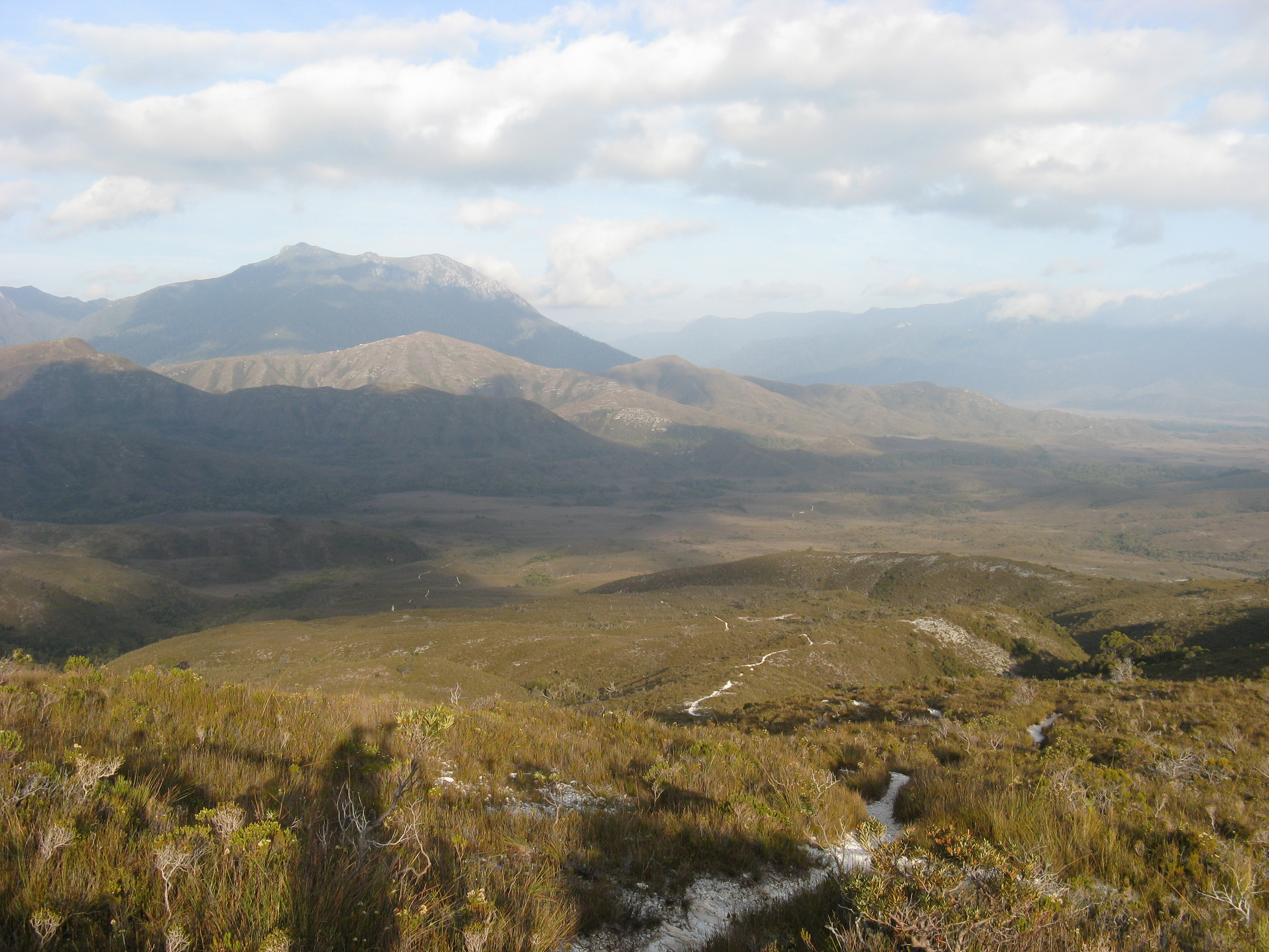
From Melaleuca, we walked 28 km that day, up to 5 km before the foot of the Ironbound range, which can best be described as a nightmare.
The track through the Ironbound range went from sea-level to 692 meters (over a distance of only 3 km) and back to sea-level (over a distance of 8.5 km). Despite the short distance, crossing this range can take up to 10 hours and is exhausting. We figured that it would be exhausting but wouldn't take us too long, so we slept in for a bit. This was the first mistake we made, since the sun was burning when we reached the foot of the mountain around 1 pm. As it turns out, it would be wise to bring enough water on a hot day (second mistake we made). Add to these mistakes the fact that my knees were getting worse (despite the medication) and you have all the required ingredients for a day of suffering. After each top lies a higher top, and each meter you go up you have to go down on the other end.
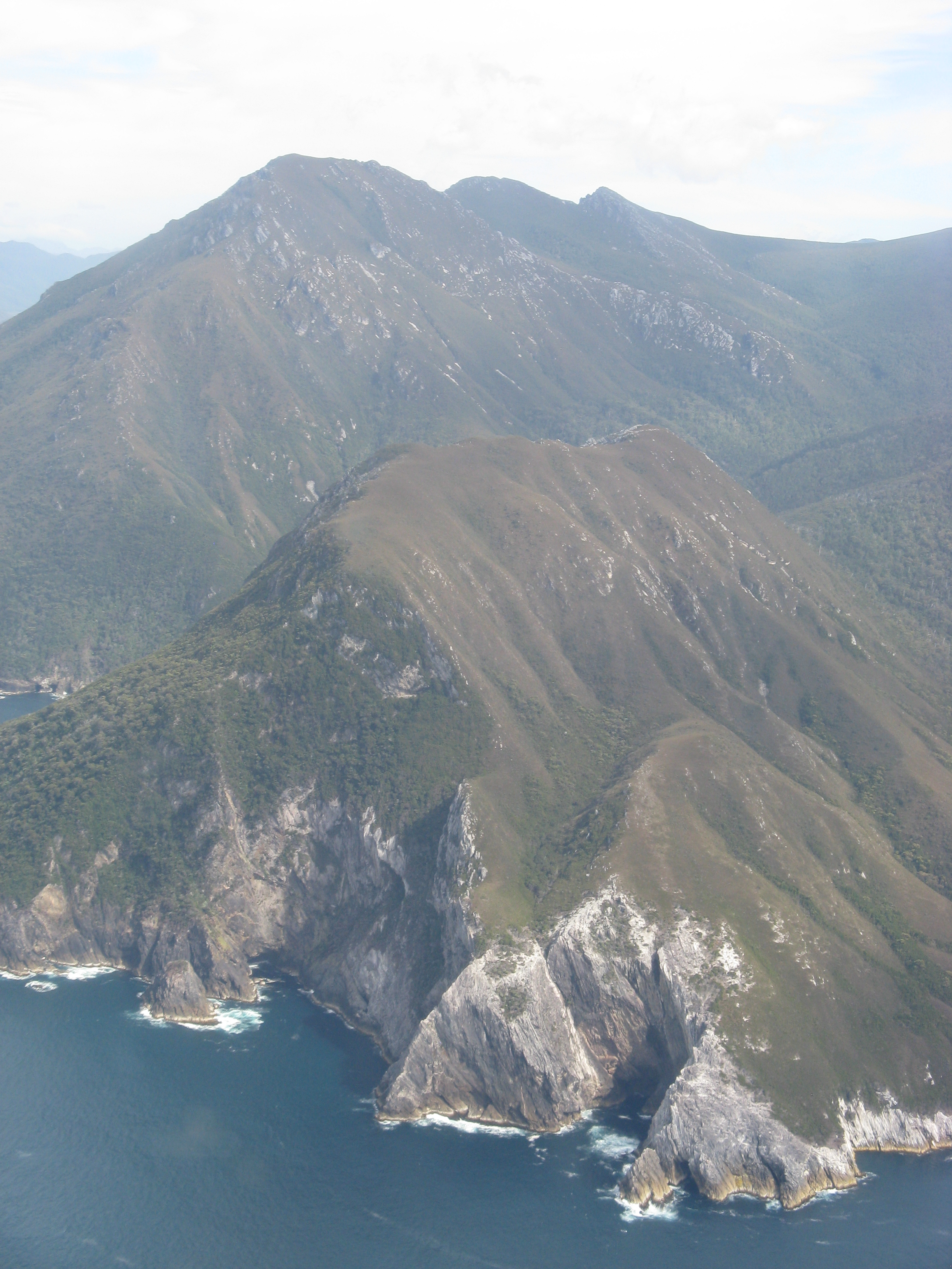
This ended up being another day on which I brutally disturbed the peace and quiet. It felt like 10 hours at least, but we actually crossed the range in only 6 hours. Between an incline in the full burning sun and the decline which was slippery and muddy, this was both physically and mentally very tough.
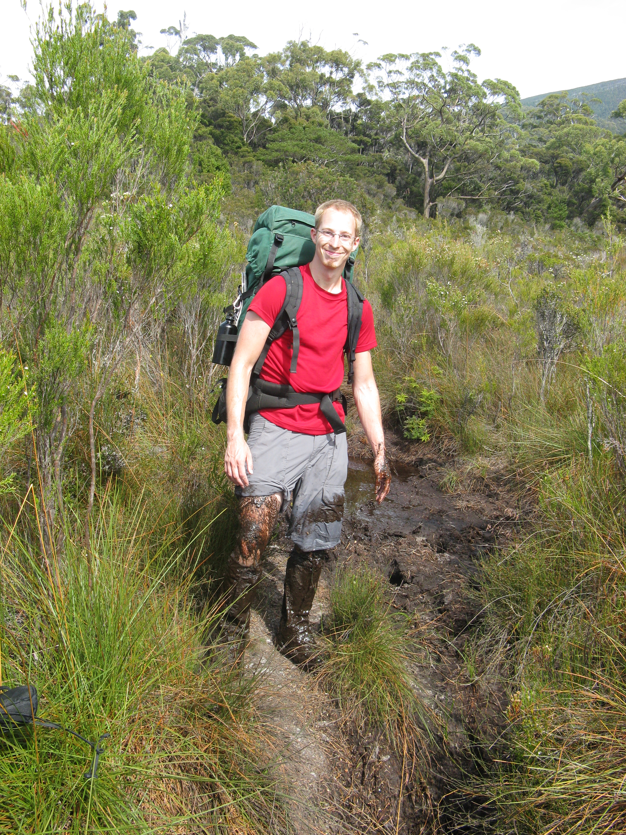
The next day was supposed to be our relaxing day. After all, we were not on a tight schedule for this track and we already finished half the track in less than two days. Still, our relaxing day turned out to have a two hour break in the afternoon and walking longer in the evening. Instead of relaxed, we were slowly starting to become tired and my feet were not in the best of shapes. Although the mud on my legs might have been good for the skin. Worse, however, another mountain range was ahead (Dutch: Ik zag er als een berg tegenop).
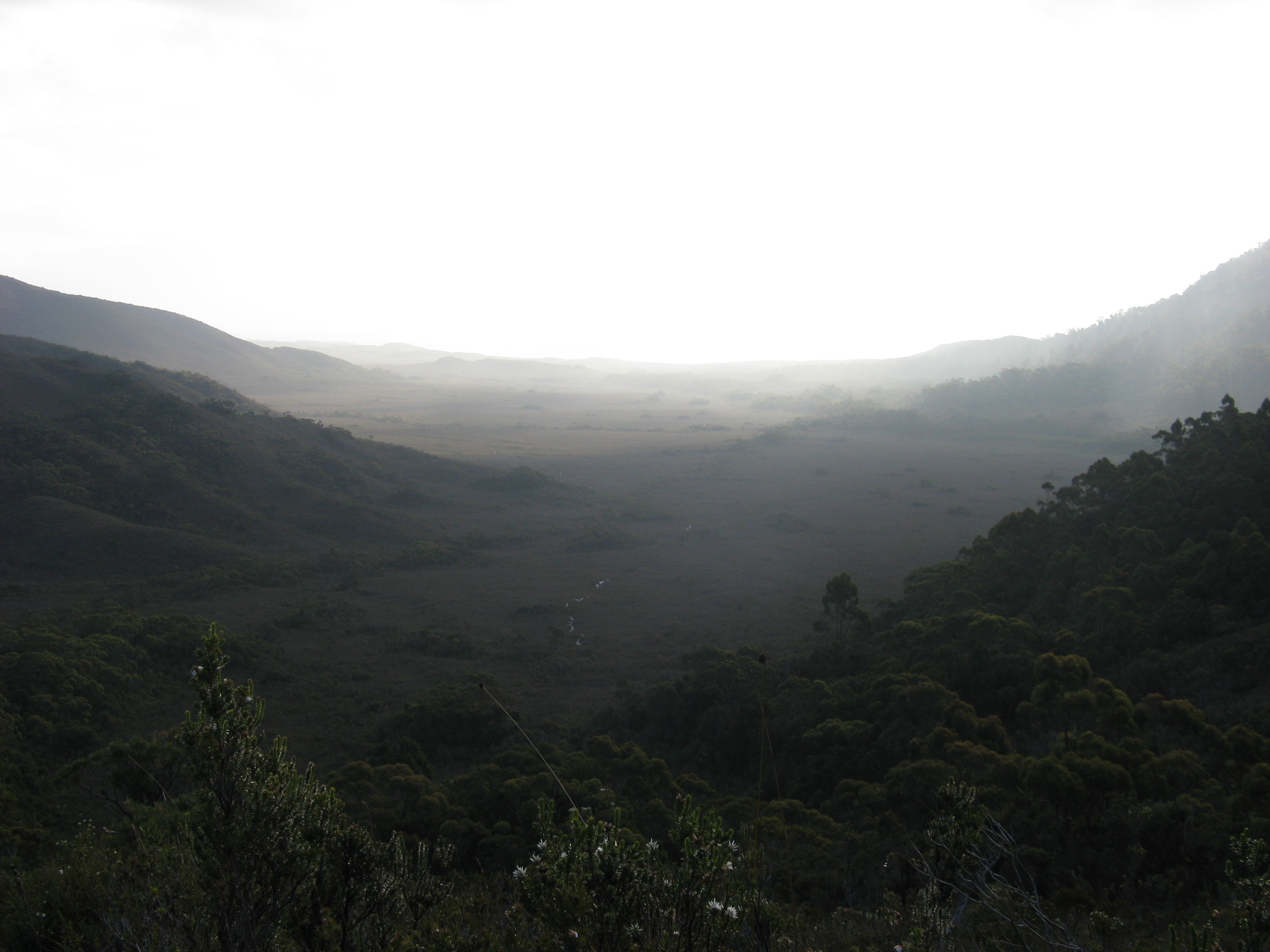
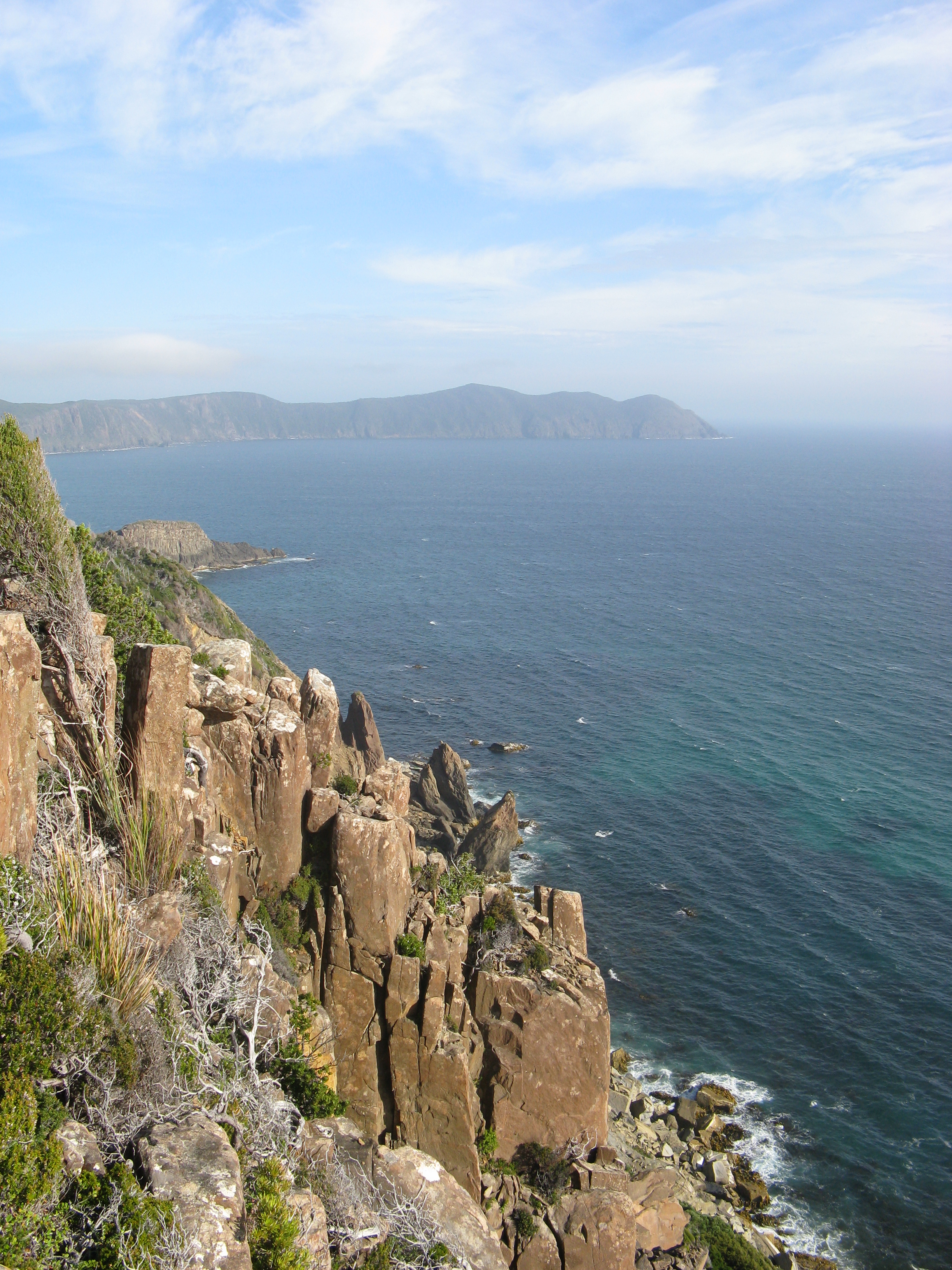
In the morning (this time before the sun would be too strong), we started climbing the mountain. Similar to the Ironbound range, the beginning and the end are at sea level. However, this track went only up to 444 meters and provides shade from the trees. Although, again I didn't bring enough water, this mountain was quite okay and my knees were holding up nicely. After the mountain range, we had a nice break and continued for a few more hours. In the end, we set up the tent about 6 km from the end of the track, to finish it in the morning.
When we woke up, it was raining and cold, so we stayed in the tent (until it was also raining inside). After a while, we packed up, started walking and finished the track less than 96 hours after we started.
Taking it a bit easier would have been nice, although I wasn't too sad to return to a world with showers, laptops and whisky, as opposed to mud pain and noodles At the end of the day, the pain goes, the mud washes of, but a beautiful experience and photos remain.